The Rumbeck monastery complex at a glance
This short film about Rumbeck Monastery can be found in the building culture app of the city of Arnsberg.
Digitalization: Wolfram Blanke
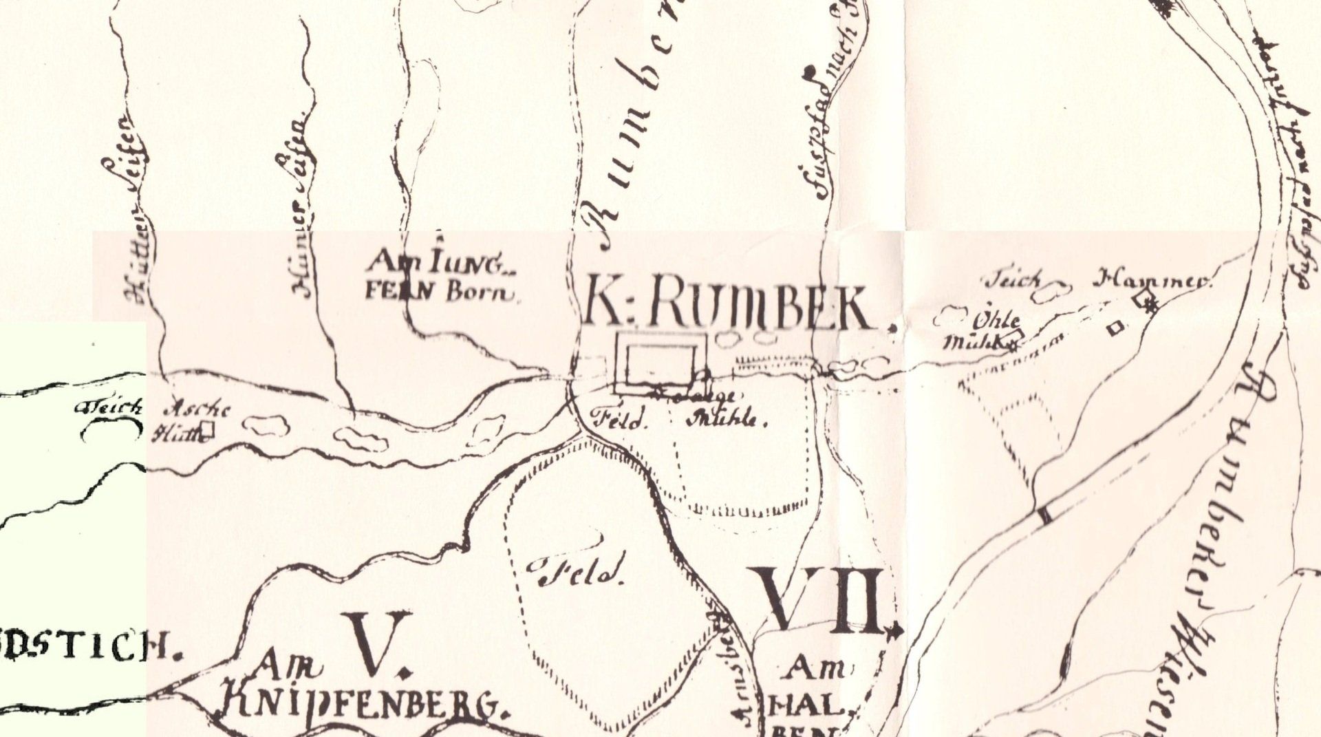
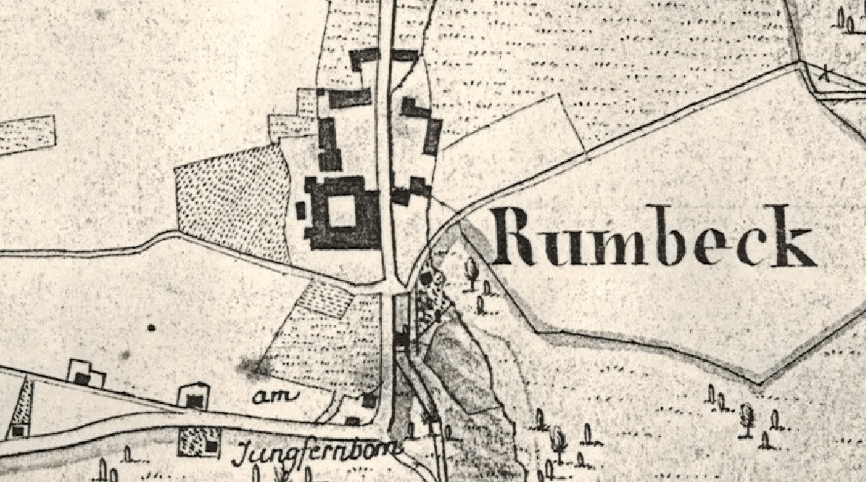
There are many old maps showing the monastery. Although interesting, they are not always useful because they contain little useful information (see examples below).
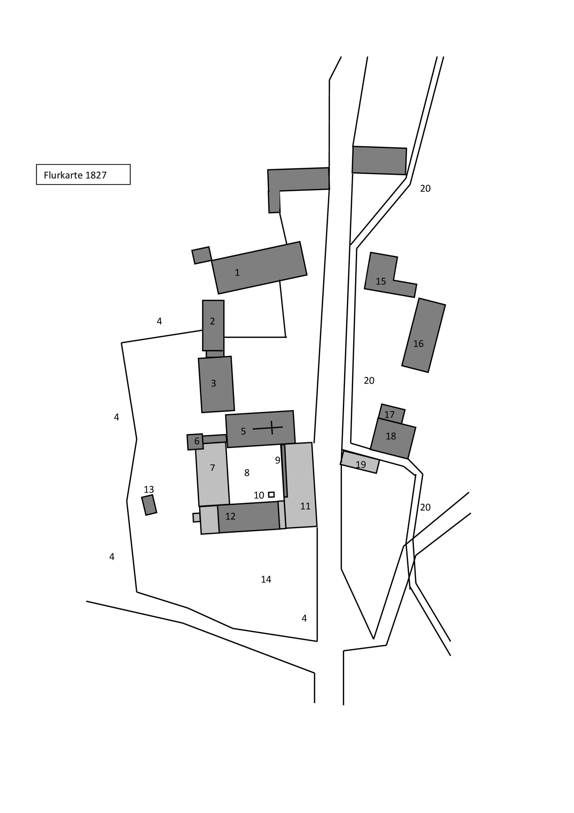
The most valuable card for us is part of the Cadastral map from 1827, which was also the basis for digitization.
This map is included folded in the book "Rumbeck 1185 - 1985" ===============>
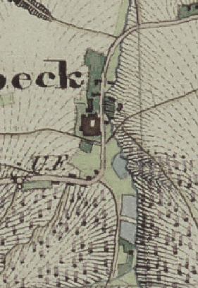
The monastery in other maps:
Survey 1827


